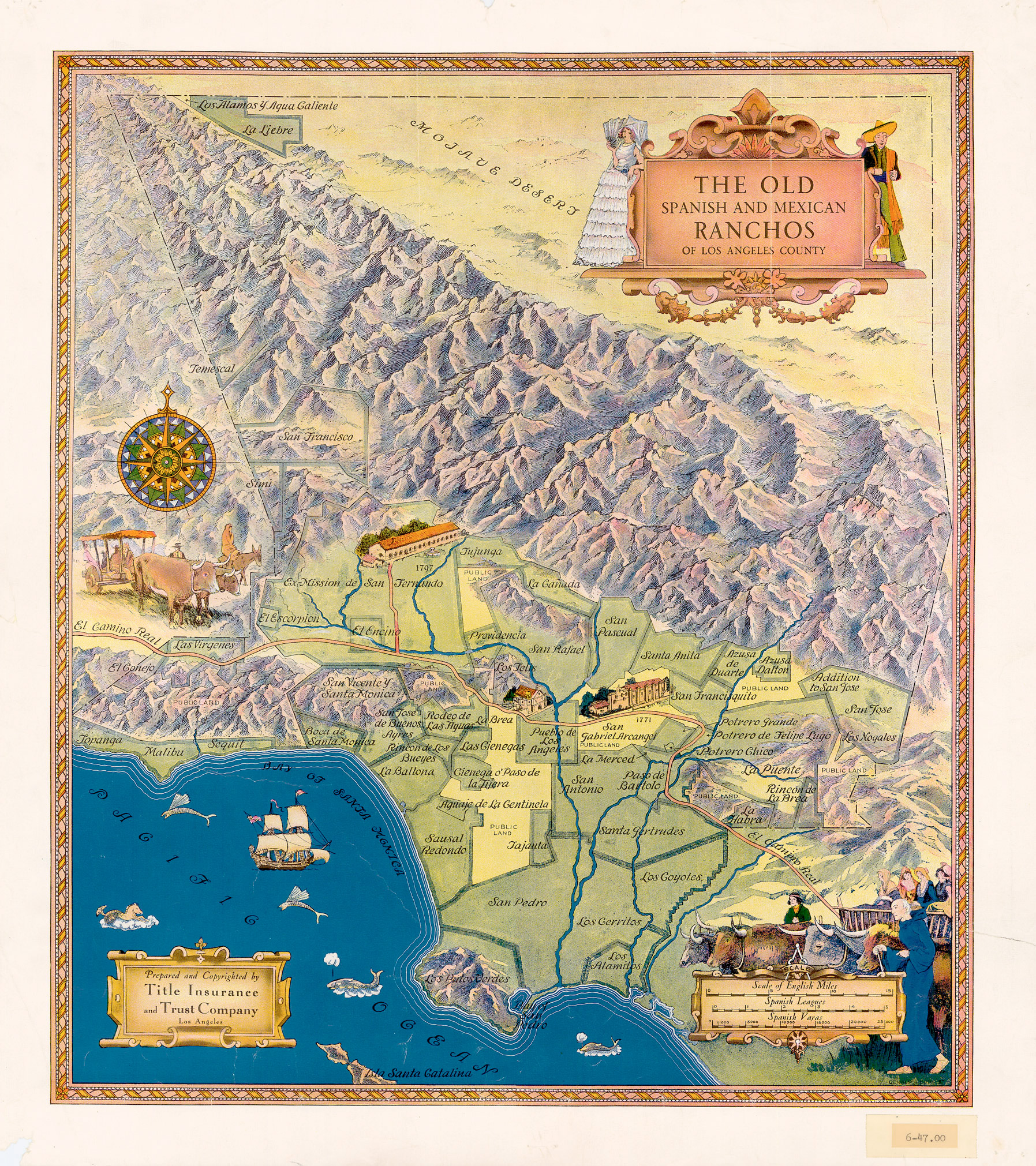
The Old Spanish & Mexican Ranchos of Los Angeles County Title Insurance and Trust Company Gerald Eddy, cartographer, 1937
Tracing the growth of Los Angeles, the nation's second largest city, is the topic of the new exhibit, "As the City Grew: Historical Maps of Los Angeles" on display at the Central Library, First Floor Galleries, 630 W. Fifth St., downtown.
The 34 historical maps in the exhibition are from the Los Angeles Public Library's 100-year-old map collection, which contains more than 100,000 items and represents local, national and international cartography. It is one of the largest collections owned by a public library in the U.S. and is noted for materials relating to Los Angeles and the West including historical topographical maps, road maps, street guides, and fire insurance atlases.
Sponsored by Farmers Insurance Group. Funding made possible by the Library Foundation of Los Angeles.